
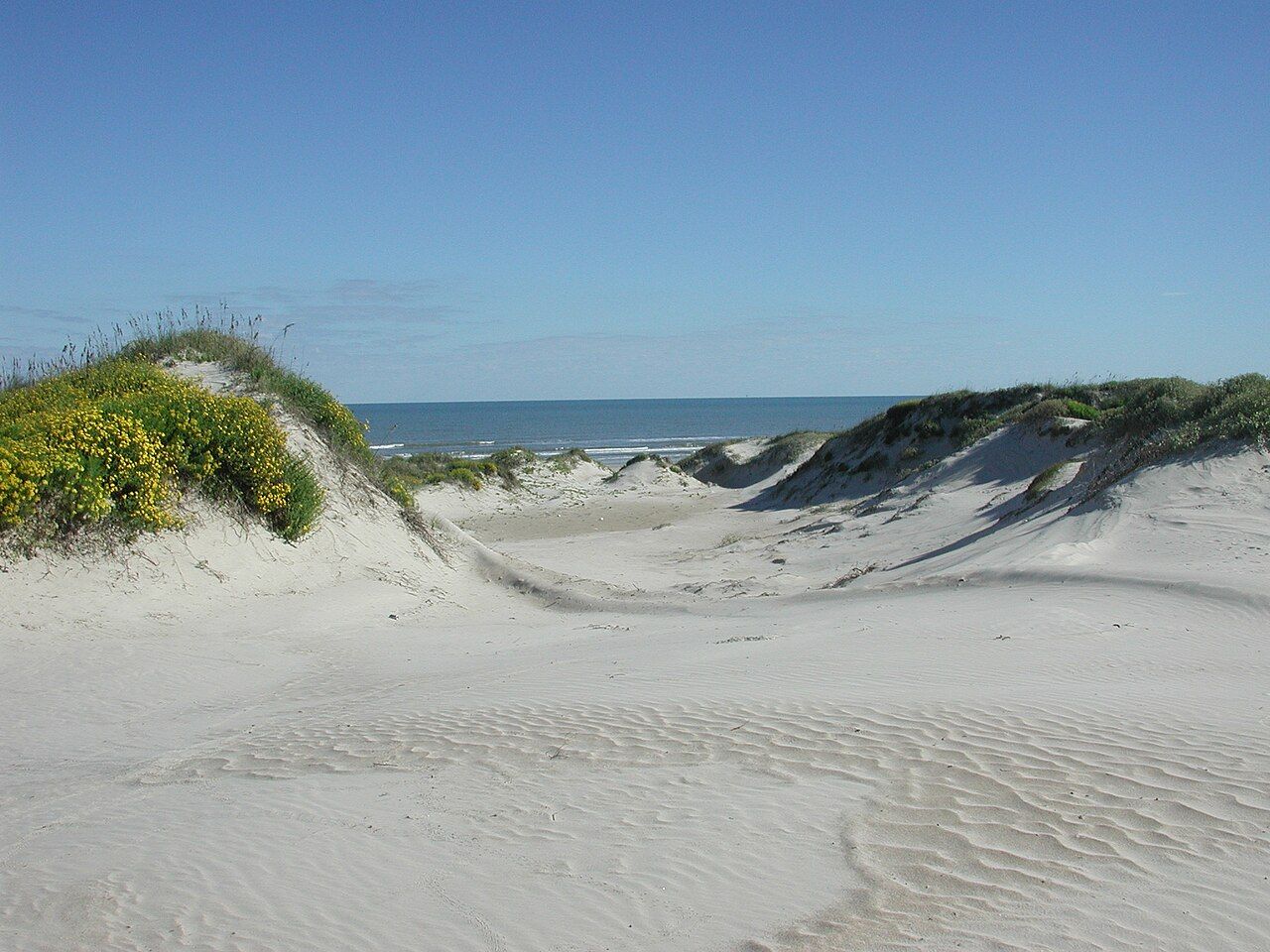
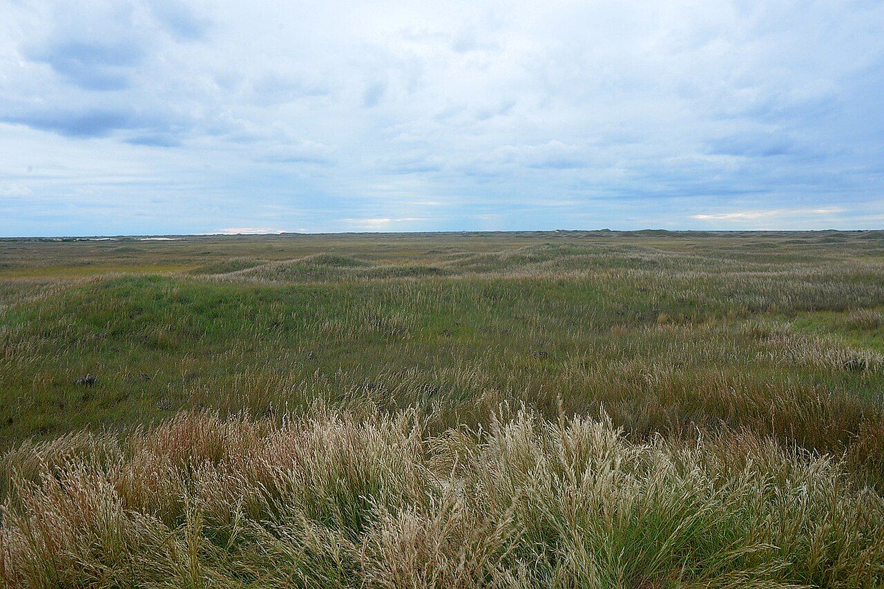
Padre Island is the long, thin barrier island that runs south from Corpus Christi towards Mexico, and the national seashore covers most of its northern half. Once you pass the park entrance, the condominiums and beach houses of the northern tip fall away and there is nothing ahead but sand, grass, dunes and water. It is the longest stretch of undeveloped barrier island left anywhere, and it feels like it. The Gulf beach runs off to a vanishing point, the dunes rise behind it in soft, shifting ridges, and the far side of the island looks onto the Laguna Madre, a shallow and unusually salty lagoon that is a world of its own.
From Rockport the drive takes you through Corpus Christi and out across the causeway to the island, or down Mustang Island from Port Aransas if you take the ferry. Either way, plan a full day. The park is big, services inside it are few, and the best of it lies at the end of a long road.
Malaquite Beach and the paved end
The road through the park ends near Malaquite Beach, where you find the visitor centre, a pavilion, showers, a campground and the one stretch of beach with any real infrastructure. Do not count on a lifeguard; for most of the year you are on your own. This is the easy introduction: park, walk over the boardwalk, and you are on a wide, firm Gulf beach with the dunes at your back.
Spend a little time in the visitor centre before you go further. Rangers post the day's beach conditions, turtle news and any closures, and the displays explain how the island formed and why the dunes matter so much. Entrance is charged per vehicle or with a national parks pass.
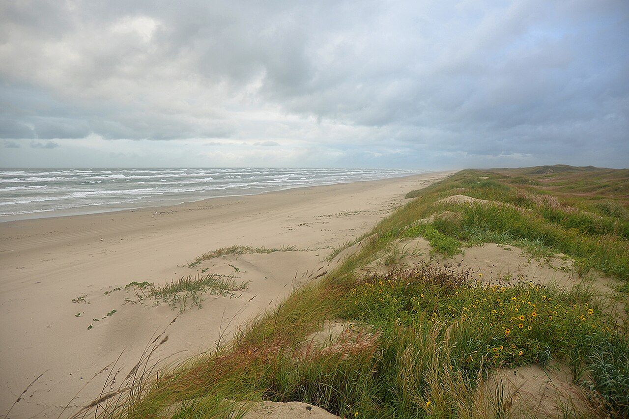
Walk north or south from Malaquite and within ten minutes you leave the crowd behind. The sand is pale and fine, and in places it is mixed with broken shell. After a north wind in the cooler months the beach is often scattered with whatever the Gulf has delivered, from sargassum weed to drift timber to the blue floats of Portuguese man-of-war. Look at those with interest but do not touch them, even dried out; the sting lasts.
Driving the beach
South of the paved road, the beach itself becomes the road. The first few miles of South Beach are usually firm enough for an ordinary car, and many visitors simply drive a short way down, pull up above the high-tide line and set up a chair. Beyond that point the sand softens and the shell deepens, and only high-clearance four-wheel-drive vehicles should carry on. The well-known stretches called Little Shell and Big Shell, where the beach turns coarse and steep with crushed shell, are where two-wheel-drive vehicles get stuck, and a tow from far down the island is slow and costly.
A few rules of thumb keep the day easy. Drive on the firm sand between the dunes and the soft wet edge, never on the dunes themselves. Keep your speed down and watch for people, nesting birds and turtles. Let some air out of your tyres if you are going far, and carry a shovel, a jack board, a tow strap and plenty of water and fuel. There is no fuel, food or phone coverage to rely on beyond Malaquite. Watch the tide too: on a high tide with a strong onshore wind, the water can reach right up to the dunes and leave no beach to drive on.
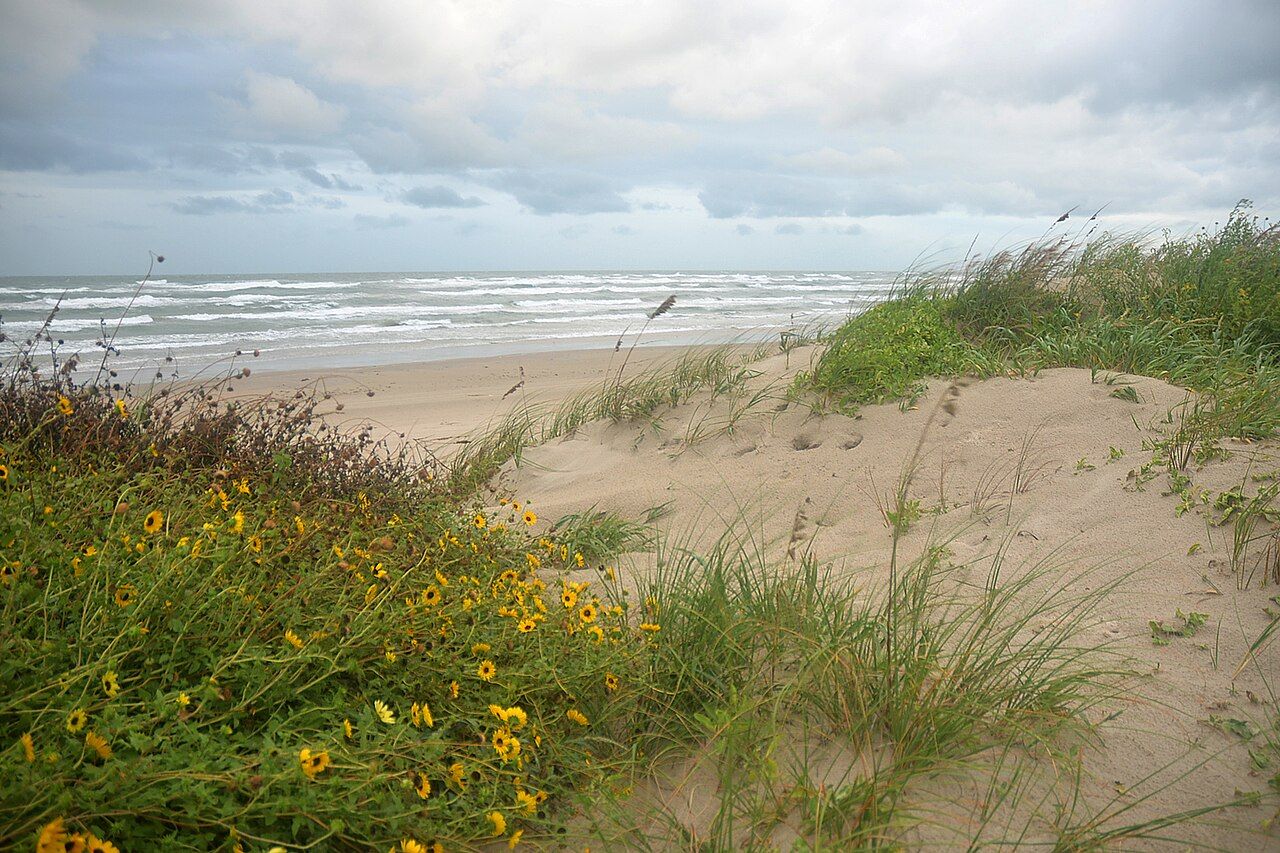
The dunes are what hold the island together. Sea oats and other grasses trap blowing sand and slowly build the ridges, which in turn shelter the grassland behind them. Stay off them on foot as well as by car; the paths cut through them by visitors are where storms break through first.
Kemp's ridley turtles and the summer releases
The national seashore is one of the most important nesting beaches in the United States for the Kemp's ridley, the smallest and most endangered sea turtle in the Gulf. Its main nesting grounds are on the Mexican coast, and since the late 1970s the park has worked to build a second nesting population here on Padre Island. Females come ashore in daylight, often on windy days in spring and early summer, dig a nest above the tide line and return to the sea within an hour.
Park staff and volunteers patrol the beach in nesting season looking for those turtles and their tracks. Many eggs are moved to a protected incubation area, and when they hatch, usually some time in summer, the hatchlings are released on the beach in the early morning. Some releases are open to the public. They are announced only a short time ahead, because nobody can say exactly when a clutch will hatch, so if you are visiting between roughly June and August, keep an eye on the park's announcements and be ready to drive down at dawn.
A release is quiet and slow: a line of people behind a rope, a stretch of wet sand, and dozens of small dark turtles making for the surf.
A release is quiet and slow: a line of people behind a rope, a stretch of wet sand, and dozens of small dark turtles making for the surf. Rangers ask for no flash photography, no touching and no stepping over the line. If you ever find a turtle on the beach yourself, alive or dead, keep your distance and report it to park staff straight away.
Down the road · IslandsMustang Island and the long open beach on the GulfBird Island Basin and the lagoon side
Halfway down the park road, a turning leads west to Bird Island Basin on the Laguna Madre. The contrast with the Gulf side is complete. The lagoon is shallow, flat and often steadily windy, which makes it one of the best-known windsurfing and kitesurfing spots on the Texas coast. You can stand in water to your knees a long way out, and on a breezy afternoon the basin is full of sails. Paddlers and wade fishermen use it too, and there is a simple camping area by the water.
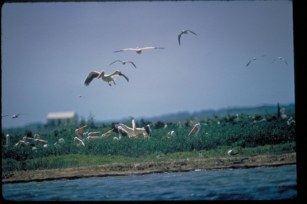
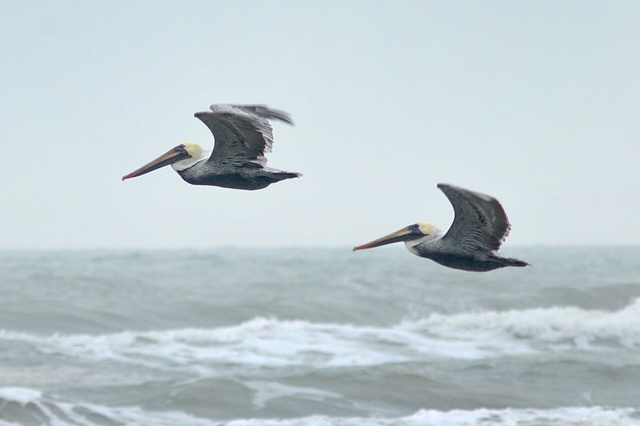
The lagoon is also where the birding is richest. Reddish egrets dance in the shallows, roseate spoonbills feed along the edges, and in the cooler months the flats fill with ducks, wading birds and shorebirds. Pelicans are never far away. White pelicans gather in big groups on the low islands in the lagoon in the cooler months, and brown pelicans work the beaches and channels all year, gliding in lines low over the surf.
Inland from the dunes, the middle of the island is a sweep of grassland dotted with freshwater ponds after rain. Coyotes cross it at dusk, and the grasslands carry their own birds, from meadowlarks to hawks. A short nature trail off the park road gives you a feel for it without a long walk.
Planning a day from Rockport
Leave early. The light on the beach is softer, the wind is often lighter in the morning, and you have time to drive back before dark. If you plan to camp, the park has the developed Malaquite campground and long stretches of primitive beach camping, which needs a permit. Days in summer are hot and the sun off pale sand is fierce, so take shade, hats and more drinking water than you expect to use. In winter a norther can turn a mild morning raw, so pack layers.
Swim with care. There are rip currents along the Gulf beach, especially near any break in the bars, and there is rarely a lifeguard. If you are caught in one, swim parallel to the shore until you are out of it. Check the park's notices for jellyfish and for red tide, which can make the air on the beach catch in your throat.
Many people pair the seashore with a night in Corpus Christi, or come down the coast on the ferry to Port Aransas and then drive the length of Mustang Island on the way. The bayfront in Corpus Christi makes a good evening stop on the drive back north.
Brown pelicans are a fitting last sight as you leave. Once nearly gone from the Texas coast, they are common again, and a line of them sliding along the wave tops is the image most people carry home from the island.
Picture credits: Unknown author Unknown author – public domain the file; William L. Farr – Creative Commons BY-SA 4.0; William L. Farr – Creative Commons BY-SA 4.0; NPS staff – public domain the file; William L. Farr – Creative Commons BY-SA 4.0; William L. Farr – Creative Commons BY-SA 4.0.

