
The Coastal Bend lives with the Gulf of Mexico. The warm water that makes the beaches inviting also feeds tropical storms, and the long, low barrier islands and bay shores are exposed when a big one comes ashore. Most visits to the coast pass without any trouble at all, but it pays to know what to watch for and what to do if the weather turns. The same goes for less dramatic hazards: rip currents, red tide, jellyfish and the simple heat of a Texas summer.
The hurricane season
The Atlantic hurricane season runs from the first of June to the end of November. Storms can form at any time in that window, but the busiest weeks for the Texas coast usually fall between August and late September. Many seasons pass without a serious storm on the Coastal Bend; others bring several close calls.
In August 2017, Hurricane Harvey made landfall near Rockport as a major hurricane. The wind tore roofs off houses and businesses, flattened trees and wrecked boats in the harbours, and the storm then stalled further inland and caused catastrophic flooding around Houston. Rockport, Fulton, Port Aransas and the towns around Copano Bay took years to recover, and the rebuilding is part of what you see there now. The story of Rockport after Harvey covers how the town came back.
Watching the forecasts
If you plan a trip between June and November, keep an eye on the tropics in the days before you leave and every day while you are on the coast. The National Hurricane Center issues forecasts for every named storm and every disturbance it is watching, and the local National Weather Service office issues the warnings for the Coastal Bend itself. Local authorities announce any evacuation orders.
Pay attention to the cone of uncertainty around a forecast track, not only the centre line; storms often come ashore away from the middle of the cone. Watch the storm surge forecasts too. On this low coast, the rise of seawater pushed ashore by a storm is often more dangerous than the wind, and it can flood roads, campsites and low-lying towns well before the storm itself arrives.
If you are told to leave
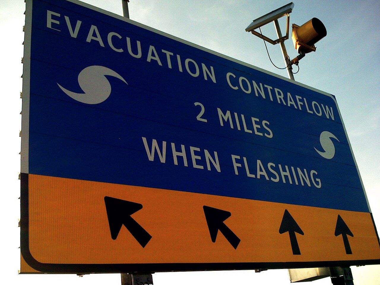
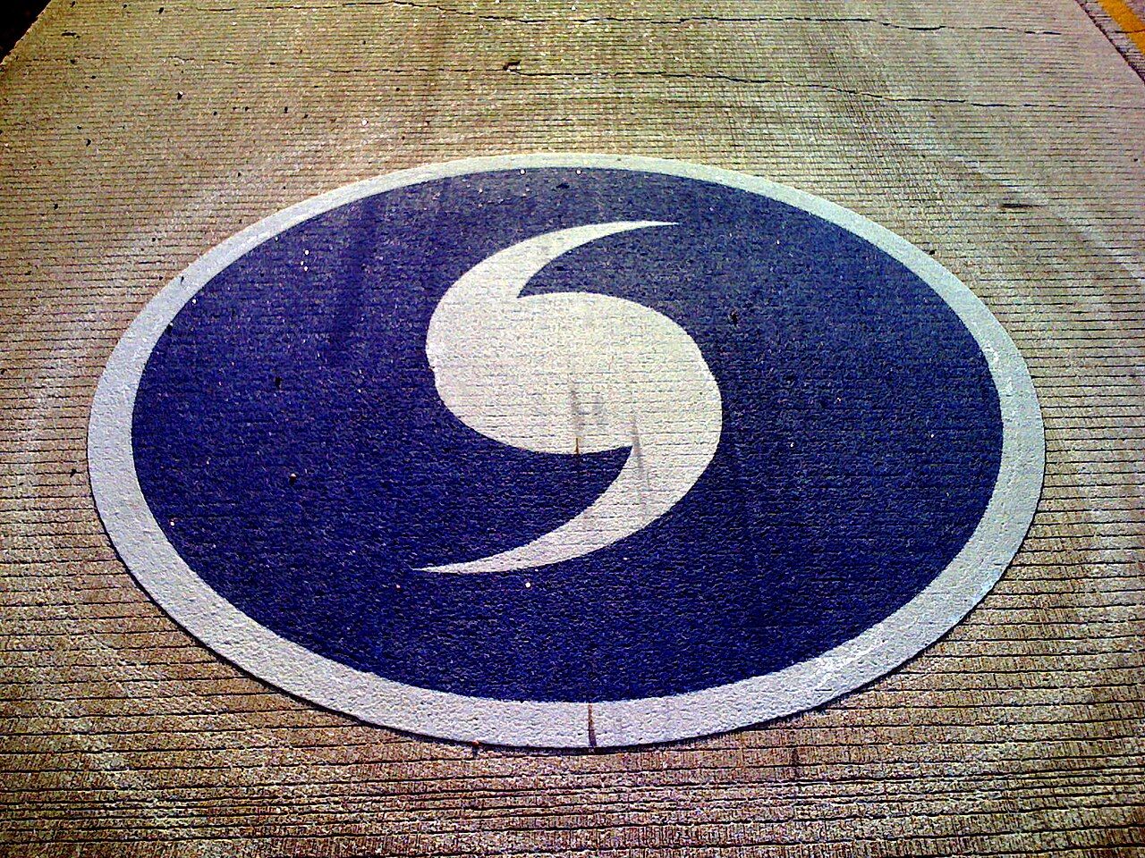
Evacuation routes on the Texas coast are signed with a blue hurricane symbol, and they lead inland, away from the bays and islands. From the Coastal Bend, the main routes head north and west towards Victoria and San Antonio. When a big storm threatens, authorities can turn some highways into one-way routes inland, and traffic can be heavy for many hours.
If you are told to leave, leave early. Fill your tank as soon as a storm looks likely, because fuel stations run dry. Keep water, food, medicines, phone chargers and important documents ready to go. The barrier islands and the low bay shores are usually the first areas to be cleared, and the ferry and causeways can close as the wind rises. If you are towing a trailer, remember that high winds make it harder to handle and that it slows the whole journey; the notes on getting around the Coastal Bend cover the main roads.
After a storm, do not rush back. Roads may be blocked, power out and water unsafe, and local authorities will say when it is safe to return.
Red tide and fish kills
Red tide is a bloom of a microscopic algae in the Gulf that can turn the water reddish or brown. It produces toxins that kill fish, sometimes in large numbers, and that irritate the eyes, nose and throat when the spray blows ashore. On a red tide day, you may notice coughing and sneezing on the beach and see dead fish along the tide line. People with asthma or other breathing problems should stay away from the affected beaches.
Red tide comes and goes, often in late summer and autumn, and it can linger for weeks. Shellfish from affected areas can be unsafe to eat, and oyster harvesting is closed when it is present. State agencies post updates on where the bloom is.
Not every fish kill is red tide. In hot, calm weather, low oxygen in the bays can kill fish too, and sudden cold snaps in winter can stun or kill fish in the shallows.
Rip currents and jellyfish
Rip currents are the most common danger on the Gulf beaches. They form where water piles up between the sandbars and rushes back out to sea in a narrow channel. They are strongest near jetties, piers and breaks in the bars, and they can carry even strong swimmers out quickly. If you are caught in one, do not fight it; swim parallel to the shore until you are free, then head back in. Swim near lifeguards where there are any, and keep children close.
Portuguese man-of-war and other stinging jellyfish wash up on the beaches at times, especially in spring and with onshore winds. Their tentacles can still sting when they are dead and dried out, so keep your feet away from the blue floats on the sand. Purple flags on lifeguard stands warn of dangerous marine life.
Heat and the summer sun
Summer on the Coastal Bend is long, hot and humid. The sea breeze makes it feel cooler than inland, but the sun is fierce, and the light off the sand and water burns quickly. Drink often, take shade with you, wear a hat and long sleeves, and keep strenuous walks to the early morning and evening.
Watch for the signs of heat exhaustion: dizziness, headache, nausea and heavy sweating. Get into shade, drink water and cool down, and seek help if it gets worse. Never leave a person or a pet in a parked car.
Picture credits: tenorune from Austin, TX and Berlin, Germany – Creative Commons BY-SA 2.0; tenorune from Austin, TX and Berlin, Germany – Creative Commons BY-SA 2.0.